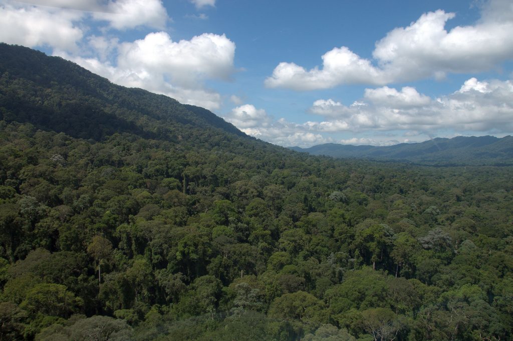
In 2016, the Global Airborne Observatory mapped much of the Malaysian state of Sabah on the island of Borneo in support of a government-led initiative to establish a large new protected area. This work positioned Asner Lab as a key expert in service to the Malaysian government. Our lab is responsible for identifying the most […]
Read More… from New Rainforest Protections in Borneo
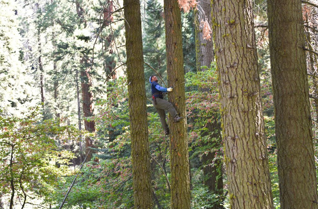
California is both a global biodiversity hotspot and home to forest ecosystems with the highest aboveground carbon storage per unit of land area on earth. Warming temperatures and changing precipitation patterns threaten California’s forests and their ecosystem services. Asner Lab is working to map patterns of forest species composition, forest functional diversity, and carbon stocks […]
Read More… from Biodiversity and Carbon Storage in California
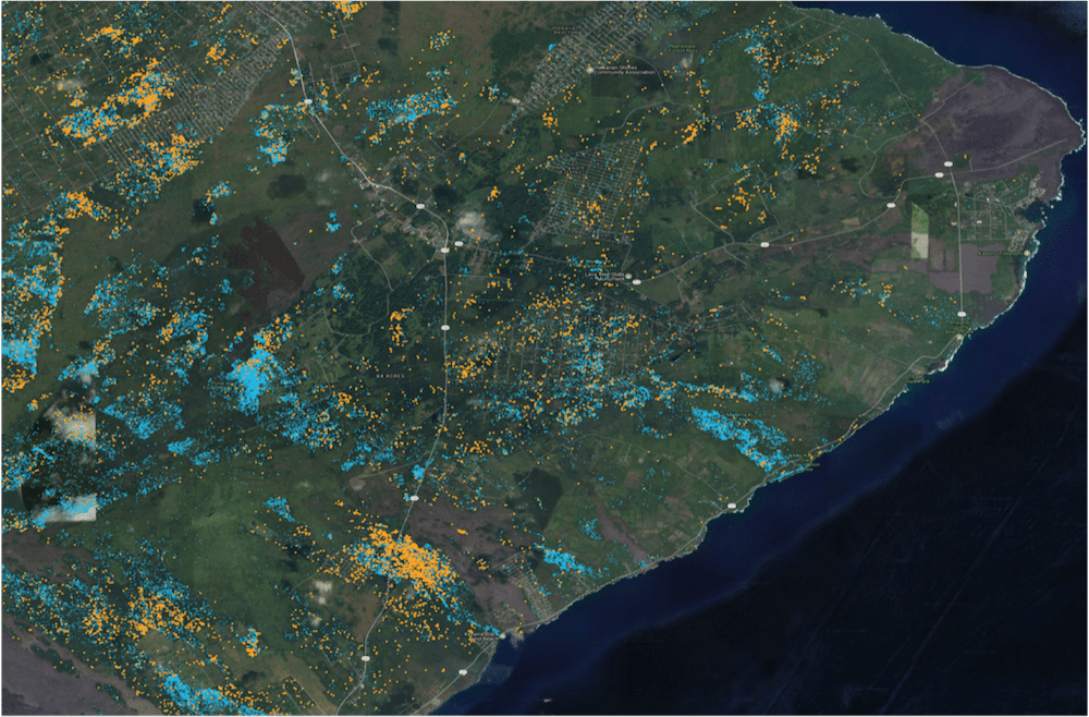
The Global Airborne Observatory (GAO) is mapping forest conditions throughout the Hawaiian Islands, with a special focus on the detection of Metrosideros polymorpha, (also known as Ohi’a), Hawaii’s most important native tree species. The spread of Rapid Ohi’a Death, or ROD, to Ohi’a trees has increased over the years due to a highly aggressive foreign […]
Read More… from Conservation Management of Hawaiian Forests

The Global Airborne Observatory (GAO), formerly the Carnegie Airborne Observatory (CAO), is an airborne laboratory developed by Dr. Greg Asner and his team that houses advanced Earth mapping technology. The GAO’s mission is to make scientific discoveries, support conservation, and galvanize action to protect the environment at large geographic scales. Now in its third generation, […]
Read More… from Global Airborne Observatory