Understanding ecological systems at a global or regional scale is a complex problem, requiring the integration of a wide variety of different sources and types of data. Asner Lab uses an array of approaches to address this challenge, many of which enhance human-scale analyses with machine intelligence. Guided by project-specific experts, artificial intelligence (A.I.) allows […]
Read More… from A.I.

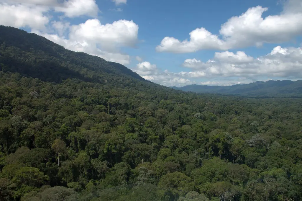
In 2016, the Global Airborne Observatory mapped much of the Malaysian state of Sabah on the island of Borneo in support of a government-led initiative to establish a large new protected area. This work positioned Asner Lab as a key expert in service to the Malaysian government. Our lab is responsible for identifying the most […]
Read More… from New Rainforest Protections in Borneo
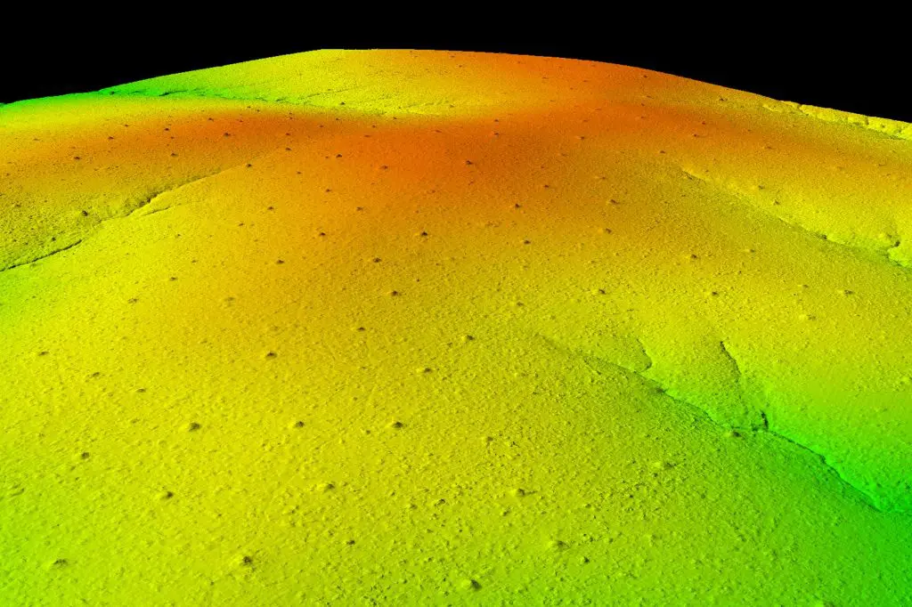
The Global Airborne Observatory (GAO), formerly the Carnegie Airborne Observatory (CAO), is an airborne laboratory developed by Dr. Greg Asner and his team that houses advanced Earth mapping technology. The GAO’s mission is to make scientific discoveries, support conservation, and galvanize action to protect the environment at large geographic scales. Now in its third generation, […]
Read More… from Global Airborne Observatory