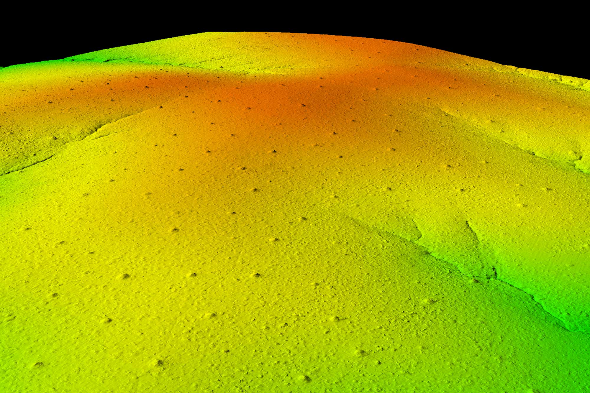
Understanding ecological systems at a global or regional scale is a complex problem, requiring the integration of a wide variety of different sources and types of data. Asner Lab uses an array of approaches to address this challenge, many of which enhance human-scale analyses with machine intelligence. Guided by project-specific experts, artificial intelligence (A.I.) allows the lab to combine and manage data from field sites, satellites, and the Global Airborne Observatory’s (GAO) high-resolution sensor package. This process occurs at many stages throughout the lab’s ecological research, from preparing and processing vast quantities of remote sensing data, to estimating ecosystem properties at large scales, to observing how regions change through time.
Asner Lab both develops and applies modern A.I. statistical techniques. Combining field data with the GAO’s high-resolution sensor package is an ideal way to support a variety of supervised learning methods, from simple SVMs to boosted trees to fully convolutional networks, and enables low-cost regional ecological monitoring. Unsupervised learning approaches allow the lab to derive insights from laser-guided imaging spectroscopy data in frontier research locations, such as the western Amazon. Optimization techniques help guide the GAO aerial campaigns and collect information from where we need it the most.
Our researchers use different programming languages, including Python, Julia, R, C++, IDL, and more, as well as frameworks including TensorFlow, PyTorch, H2O, and XGboost. This flexibility allows the lab to stay at the forefront of A.I. approaches, all while remaining oriented towards the goal of enhancing our understanding of ecological systems at large scales.