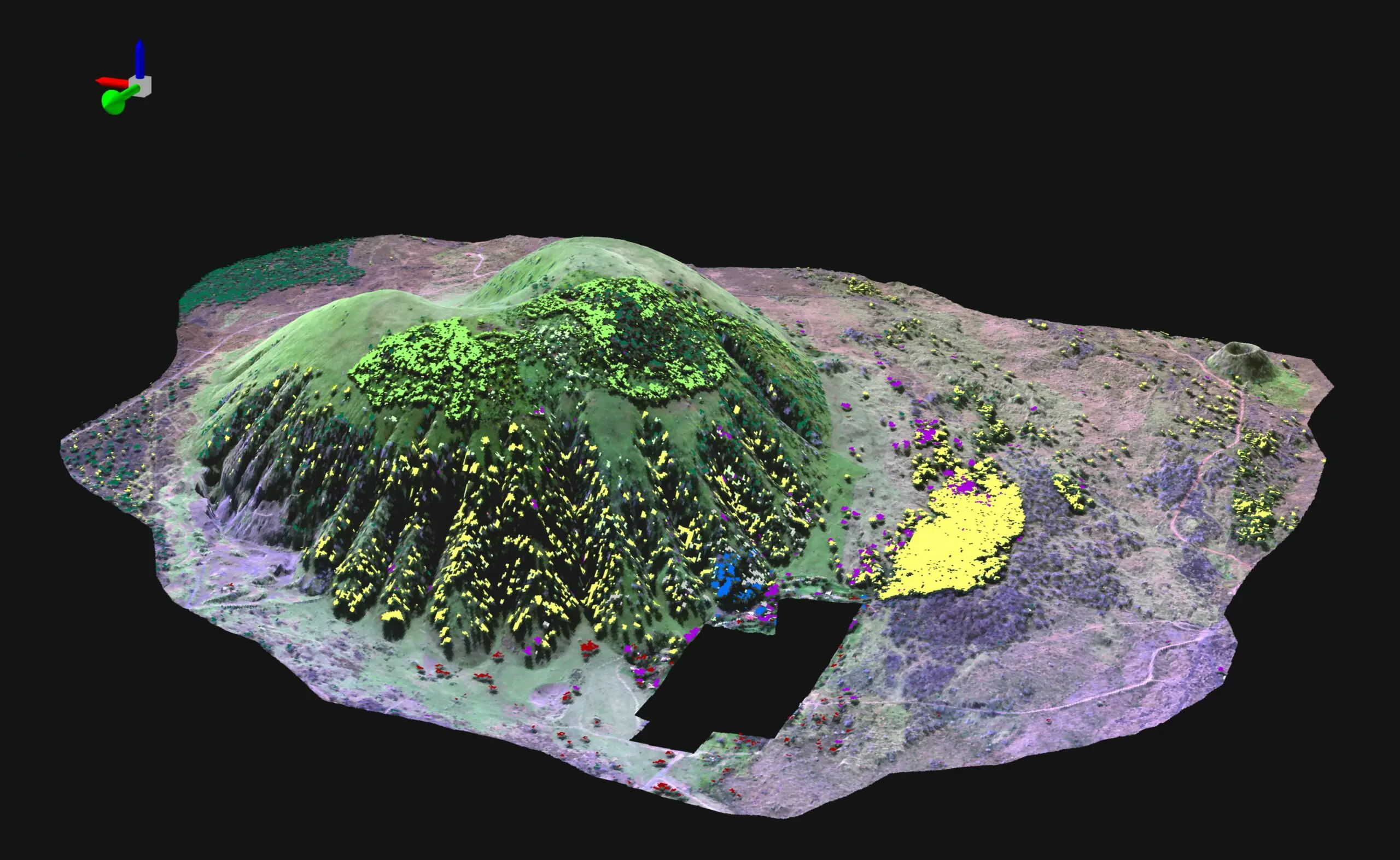
Land use practices over the last century have drastically altered the extent and composition of native Hawaiian forests. One of the exciting projects the Pacific Ridge-to-Reef team at Arizona State University is actively working on is mapping expansive areas of critically important forests at the species level throughout the Hawaiian Islands. These species maps help us to understand what is driving the forest composition in Hawaii more clearly. More importantly, high-resolution species maps help land stewards focus their limited resources by providing more informed spatial data for improved management and conservation action and planning.
The Pacific-Ridge-to-Reef team is utilizing robust field data sets in conjunction with high-resolution Global Airborne Observatory data, and multiple machine learning algorithms to create accurate, high-resolution species composition maps. We are building on over a decade of experience in Asner lab of generating high-resolution data across large areas. Once we build the species maps, we can explore the many hypotheses of what drives forest composition across landscapes and ecosystems. We can also use our multitemporal data and see how areas have changed over the last decade. We are racing against time as much of Hawaii is experiencing increasing land use pressure, drought intensity, and severity, and more extreme fire cycles to name a few of the newest factors further stressing the remaining forests.