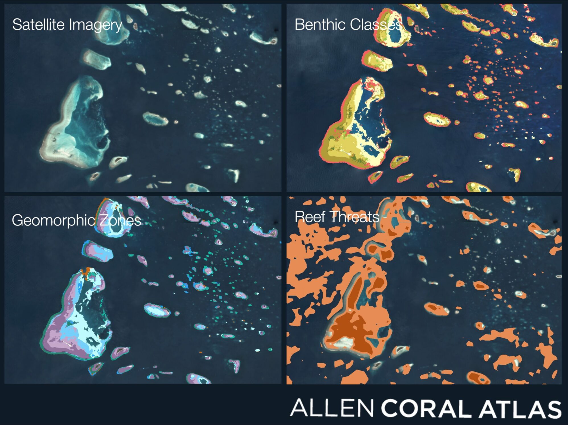
The Allen Coral Atlas is led by Asner Lab to map and monitor the world’s coral reefs using satellites and field programs.
Coral reefs are among the most important ecosystems on our planet. A few facts: at least 25% of marine species depend on coral reefs at some point in their life cycle. More than one billion people depend on reefs for food, storm protection, and tourism income, worth $2.7 trillion to the economies of 50 nations. Reefs reduce up to 97 percent of wave energy that would otherwise hit coastlines, averting tens to hundreds of millions of dollars in flood damage every year. Those are just some of the reasons underlying the urgency to protect coral reefs today. If nothing is done to abate warming temperatures from climate change, models predict that 70% to 90% of coral reefs will be lost by 2050.
The Allen Coral Atlas was developed through a unique international partnership of experts capable of harnessing satellite imagery, machine learning, and big data processing to create the world’s first high-resolution global maps and monitoring products for coral reefs. Managed by Asner Lab at Arizona State University, current partners include National Geographic Society, Planet, the University of Queensland, and Vulcan Inc.
The full suite of Atlas mapping and monitoring tools provides a comprehensive and unprecedented picture of changes to coral reefs over time, giving scientists, decision and policymakers, and the reef management community critically important information urgently needed for rapid response and conservation. The Atlas system is instrumental in spatial planning, protected area management, and coastal protection/disaster risk reduction. Never before has the global coral conservation community had consistent, comparable, up-to-date access to global coral data that can be used to protect these critical resources before they are gone forever.
Sponsors
Partners
The University of Queensland
University of Hawaii
Planet Inc.